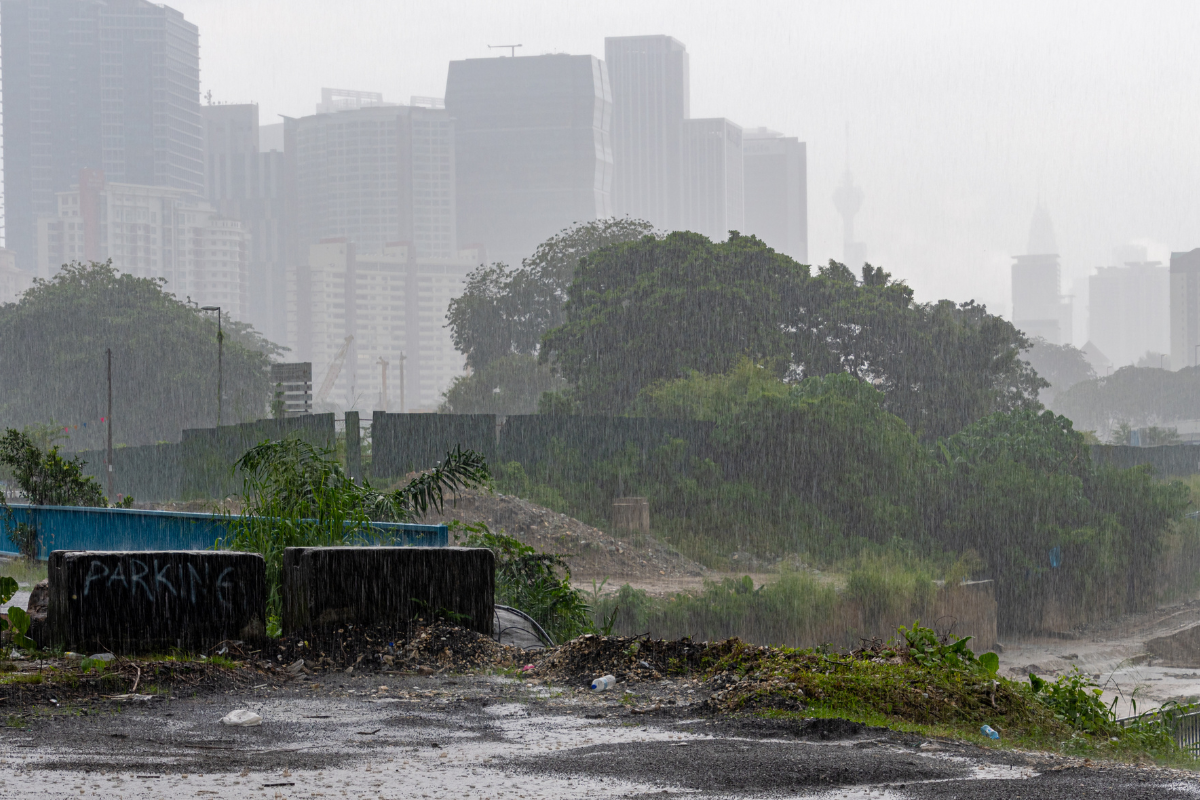
Heavy monsoon rain flooded streets in Delhi and Surat this week, disrupting daily life and renewing scrutiny of how India’s cities handle extreme rainfall. The India Meteorological Department’s latest bulletin, issued Monday, forecasts isolated to scattered rainfall continuing over Delhi, Haryana, Punjab and West Uttar Pradesh through July 18, with heavy rain likely in pockets of East Uttar Pradesh.
What Urban Flooding Means
Urban flooding happens when heavy runoff overwhelms a city’s drainage system, temporarily submerging land and property. It differs sharply from flooding in rural areas. According to the National Disaster Management Authority (NDMA), urbanization raises flood peaks by 1.8 to 8 times and flood volumes by up to 6 times compared to undeveloped land.
The damage goes beyond flooded roads. The NDMA says urban floods displace residents, destroy property, and cut off power and water supply. They also spread waterborne disease and pollute rivers and lakes.
Why Cities Keep Flooding
Several factors combine to make flooding worse each monsoon, according to the NDMA’s assessment. Extreme rainfall events, cloudbursts and shifting monsoon patterns have intensified in recent years, as seen in Mumbai’s catastrophic 2005 floods.
Rapid, unplanned urbanization compounds the problem. Cities have paved over open ground with concrete, leaving rain with nowhere to soak in and forcing more of it to run off into streets.
Natural drainage has also disappeared. The NDMA notes that Bengaluru alone has lost 65 lakes over the past two decades to encroachment on wetlands, floodplains and stormwater drains.
Where drainage systems still exist, many are poorly designed, undersized, or clogged with solid waste, the NDMA says. Mismanagement of reservoirs adds another risk. Chennai’s 2015 floods worsened sharply after a sudden release of water from the Chembarambakkam reservoir.
The IMD’s Monday bulletin adds a live warning layer to this picture. It flags a monsoon trough currently running through Sri Ganganagar, Hisar, Meerut, Shahjahanpur, Gorakhpur and Muzaffarpur, and warns of localized flooding, waterlogging, and underpass closures in urban areas over the next several days.
What Needs to Change
The NDMA points to three areas for reform. Cities need better forecasting. Expanding Doppler radar coverage, automatic rain gauges, and real-time monitoring would give officials earlier warning, the agency says. GIS mapping of drainage networks and flood-prone zones would help planners target the highest-risk areas.
Infrastructure needs an upgrade, both old and new. The NDMA recommends modernizing storm drains and clearing them of encroachments and silt regularly. It also calls for nature-based solutions, like China’s “sponge city” model, which uses permeable pavements, green roofs and rain gardens to absorb runoff instead of channeling it into overwhelmed drains.
Governance needs strengthening too. The NDMA recommends dedicated urban flood cells and local disaster management plans to give cities a clearer chain of command during floods, along with better coordination between agencies and greater involvement from local urban bodies.
The IMD’s forecast shows no major relief through July 18 for large parts of northern and central India. As rainfall grows more intense and cities keep expanding, urban flooding has become a recurring test of India’s infrastructure, one that this week’s floods in Delhi and Surat show many cities are still failing.
Support Us To Sustain Independent Environmental Journalism In India.
More Ground Reports
He Was Married as a Child, Now Manish Dangi Helps Stop It for Others
Despite The Ban, How Gutkha Became MP’s Most Common Household Habit