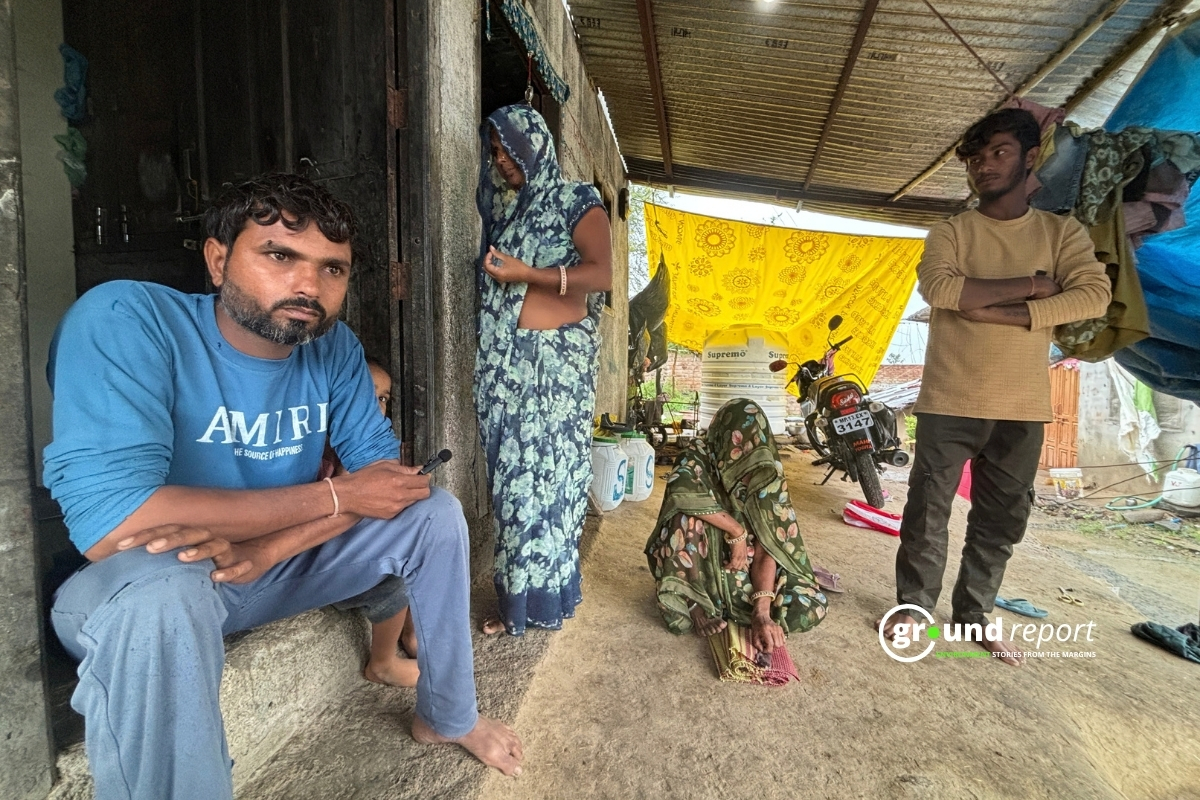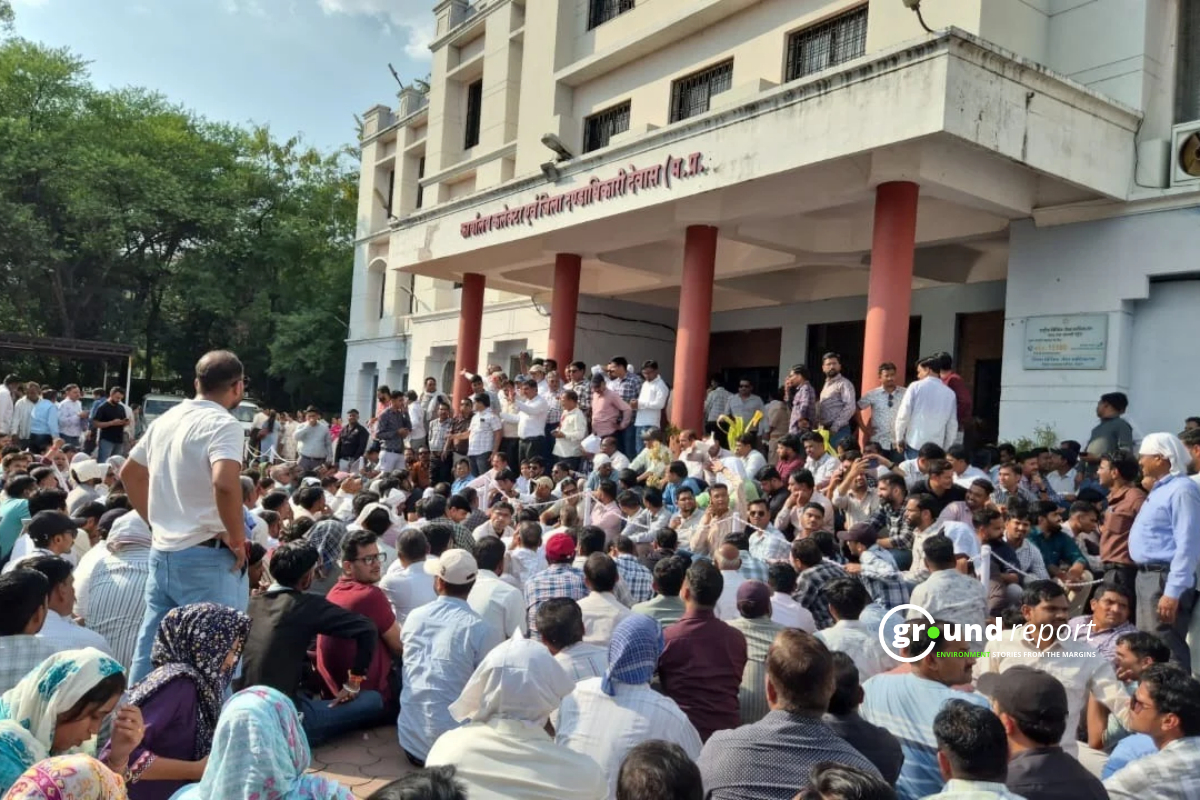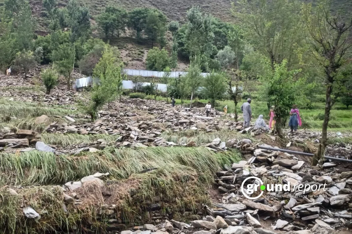
Deadly floods and cloudburst-triggered disasters are already battering Pakistan, Nepal and India this July. Scientists across the Hindu Kush Himalaya say that’s no accident — and no contradiction, even though this year’s monsoon is forecast to bring some of the lowest rainfall totals in years.
“The biggest misunderstanding is that less seasonal rainfall means lower flood risk,” said Saswata Sanyal, a disaster risk reduction specialist at the International Centre for Integrated Mountain Development, the Kathmandu-based research body known as ICIMOD. Its HKH Monsoon Outlook 2026 projects below-normal rainfall across Bhutan, India, Nepal and Pakistan through September — alongside a warning that the danger is rising, not falling.
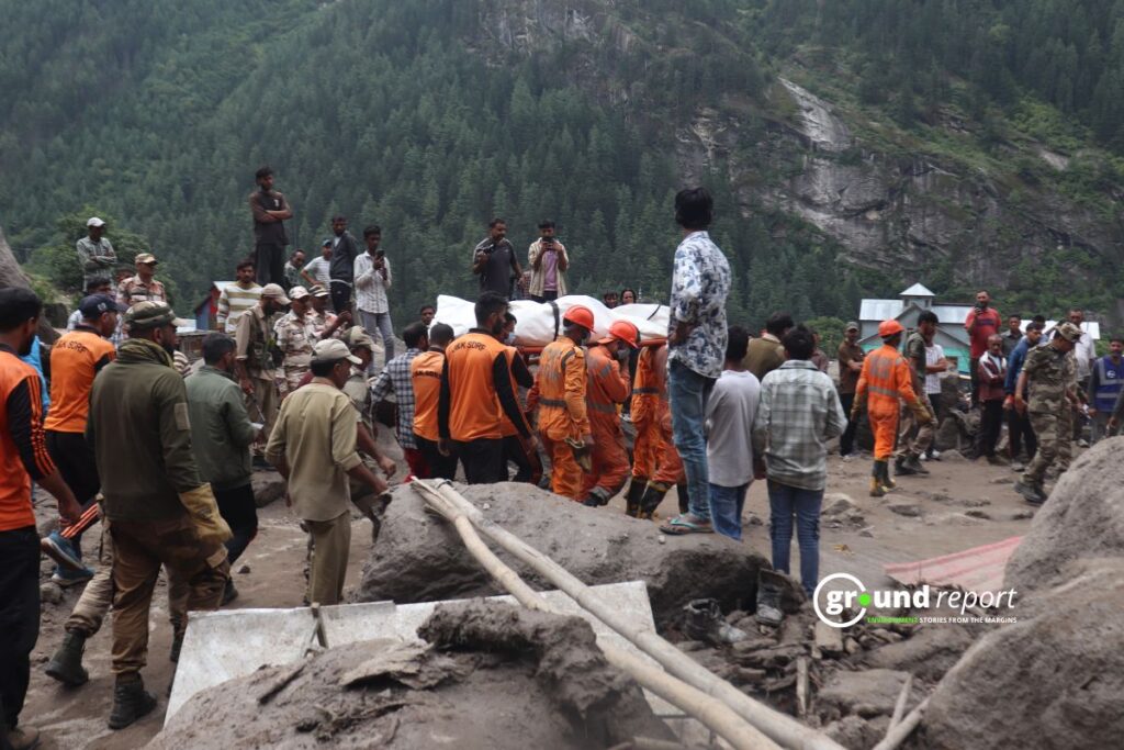
The pattern the outlook predicted in June is now playing out. Cloudbursts have hit Pakistan’s Gilgit-Baltistan region repeatedly since the season began, triggering landslides along the Karakoram Highway, the main trade route linking Pakistan and China. Intense rain set off flooding in India’s Arunachal Pradesh. In Jammu and Kashmir’s Kishtwar district, flash floods this year stalled construction at the 540-megawatt Kwar hydroelectric project and shut the highway connecting Kishtwar to Doda.
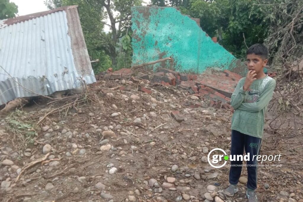
India’s Meteorological Department, meanwhile, is forecasting the country’s first below-normal monsoon in 11 years — 90 percent of the long-period average, with a 60 percent chance the season turns fully deficient. Kharif sowing is already lagging: as of late June, farmers had planted 23 percent less land than at the same point last year.
Two forecasts. One region. Both point toward danger.
Why a Dry Year Still Floods
El Niño conditions are suppressing seasonal rainfall totals. But totals hide what’s happening week to week. “Seasonal forecasts describe average conditions over several months, not what happens in a single valley,” Sanyal said. “Under El Niño, long dry spells can be interrupted by intense local storms that trigger devastating flash floods and landslides.”
Heat compounds it. Warmer air melts glaciers and snowpack faster, so a modest storm over a glacier-fed basin can generate a flood far bigger than the rainfall alone would suggest. “The recent flooding in Pakistan’s Thore Valley demonstrates that hazards in the HKH are no longer occurring in isolation,” said Manish Shrestha, a hydrologist at ICIMOD. Rainfall, glacier melt, unstable slopes and rising rivers are increasingly interacting, he said, rather than striking one at a time.
The physics behind it is simple. Every additional degree Celsius lets the atmosphere hold roughly 7 percent more water vapor, said Stefan Uhlenbrook, director of hydrology, water and cryosphere at the World Meteorological Organization — meaning warmer air wrings out its moisture in shorter, more violent bursts. Glacial lake outburst floods, once expected in the Hindu Kush Himalaya roughly once every five to 10 years in the 2000s, are projected to triple in frequency by the end of the century.
The Numbers Behind the Warning
The historical record backs the scientists up. Floods account for 46 percent of all disasters recorded across ICIMOD’s eight member countries since 1980. Droughts are a smaller share of events — about 3 percent — but have affected more than 421 million people since 2011 and cost over $33 billion.
“Drought and flood risks can no longer be managed separately,” said Arun Bhakta Shrestha, a senior adviser at ICIMOD. Forecasting agencies are adjusting their language accordingly. Mrutyunjay Mohapatra, director general of the IMD, has told reporters that “the distribution of rainfall is more important than the quantity” this season — a signal that a modest seasonal deficit can still conceal a lethal week.
Who Is Exposed
The risk is concentrated in specific places: river edges, steep slopes and fast-growing towns. “Settlements on steep slopes and riverbanks remain the most exposed locations this monsoon,” said Neera Shrestha Pradhan, ICIMOD’s water and disaster risk reduction lead.
Because Himalayan rivers cross borders, the danger doesn’t stay put. “Disasters across the HKH are becoming more frequent and increasingly complex, but preparedness systems are still largely designed around individual hazards,” said Qianggong Zhang, ICIMOD’s head of climate and environmental risks, who called for stronger cross-border warning systems.
Navneet Yadav, who leads disaster risk reduction work at Palladium India, said heavy rainfall in Himalayan headwaters can turn into flooding downstream within hours, making upstream monitoring critical for entire river basins — not just the communities nearest the storm.
India’s Monsoon Core Zone, the rain-fed farming belt across central and western India, is forecast to get less than 94 percent of normal rainfall. The Agriculture Ministry has flagged 315 districts at risk of shortfall, including 111 where less than a quarter of farmland has any irrigation at all.
What’s Still Ahead
Nearly three months of monsoon remain. The highway crews still working to reopen the road through Kishtwar are racing a season that has already proven it doesn’t need much rain to turn deadly — just the wrong storm, in the wrong valley, at the wrong time.
Support Us To Sustain Independent Environmental Journalism In India.
More Ground Reports
He Was Married as a Child, Now Manish Dangi Helps Stop It for Others
Despite The Ban, How Gutkha Became MP’s Most Common Household Habit