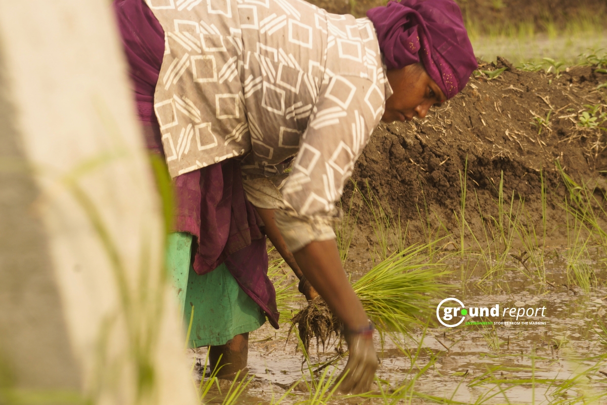
Madhya Pradesh has received 65 percent more rainfall than its June quota — and the monsoon has not even crossed the state border yet.
The India Meteorological Department recorded an average of 8.3 mm of rainfall across the state so far this month, well above the normal for this period. Bhopal, Agar-Malwa, and Shajapur each received around two inches of rain. Neemuch led the state with two and a half inches. Districts including Satna, Sidhi, Burhanpur, Harda, Raisen, Rajgarh, Ratlam, Sehore, and Sheopur have all crossed the one-inch mark.
The rainfall comes entirely from pre-monsoon activity — not the monsoon itself, which has yet to enter the state.
Monsoon Timing
The southwest monsoon entered Maharashtra on Sunday, pushing IMD to revise its arrival window for Madhya Pradesh. The department now estimates the monsoon will reach the state between June 15 and 18, with a formal announcement expected on June 15.
Last year, the monsoon entered Madhya Pradesh on June 16 — one day behind schedule. Forecasters say the current pace of advancement is broadly on track, though conditions over the next 48 hours will determine whether that window holds.
Storms Forecast Across Half the State
IMD Bhopal has issued a thunderstorm and rain alert for 35 districts on June 8, including Bhopal, Gwalior, Indore, Ujjain, Jabalpur, Balaghat, Chhindwara, Khandwa, Burhanpur, Khargone, and Barwani. Winds of 40 to 60 kmph are expected across these areas.
Sunday gave a preview of what is coming. Heavy rain lashed Khandwa, Jabalpur, and Sehore through the afternoon. A sudden thunderstorm triggered a traffic jam on the Indore-Khandwa highway. In Sehore, residents described the temperature dropping sharply within minutes of the rain beginning. Dewas and surrounding districts also saw sustained thunderstorms through the evening.
The alert covers most of the Jabalpur, Narmadapuram, and Chambal divisions, along with large parts of the Indore and Ujjain divisions.
What Is Driving the Rain
A meteorological trough running from eastern Uttar Pradesh through Chhattisgarh to Telangana, combined with an active cyclonic circulation over central India, is pulling sustained moisture into Madhya Pradesh. IMD says this system is increasing cloud formation and keeping rainfall activity elevated across the state.
Conditions remain favorable for the monsoon to advance further over the next two to three days, the department said. Many districts can expect cloudy skies, scattered showers, and thunderstorms until the monsoon makes its formal entry.
Heat Returns After the Rain
The relief will not last everywhere. Northern districts — particularly the Gwalior-Chambal belt — may see heatwave conditions return on June 9 and 10 as hot winds strengthen from the northwest. IMD has urged residents in those areas to limit outdoor exposure during peak afternoon hours.
The department warns that once the current spell clears, temperatures across the state will climb again before the monsoon brings sustained cooling.
Support Us To Sustain Independent Environmental Journalism In India.
More Ground Reports
He Was Married as a Child, Now Manish Dangi Helps Stop It for Others
Despite The Ban, How Gutkha Became MP’s Most Common Household Habit