Skies over Madhya Pradesh turned grey again on Wednesday as a western disturbance and an associated trough pushed clouds weather across the state. Cities including Bhopal, Indore, and Gwalior saw overcast conditions throughout the day, and daytime temperatures dipped in response.
The Meteorological Department says two more western disturbances are forming over the western Himalayan region and will become active within the next five days. Forecasters do not expect rain, but cloud cover is likely to persist, keeping residents bundled up well into the coming week.
What the Forecasters Say
Senior weather scientist Dr. Divya E. Surendran of the Meteorological Department attributed the grey skies directly to the current system. She said day and night temperatures are expected to gradually rise before conditions shift again.
“There is cloud due to the impact of the system right now. In the coming days, temperatures will trend upward. But another round of winter is on its way.”
Dr. Divya E. Surendran, Senior Weather Scientist, Meteorological Department
Dr. Surendran said snowfall is currently underway in the mountains, with rain falling across several other states. Once the system passes and the snow begins to melt, cold will circle back. Most cities can expect night temperatures to stay between 10 and 12 degrees Celsius over the next few days.
On Thursday, February 13, light fog will settle over some districts. No rain is expected, but daytime cloud cover will remain. Friday, February 14, brings light to moderate fog in a few areas, and again the department issues no rain alert for the day.
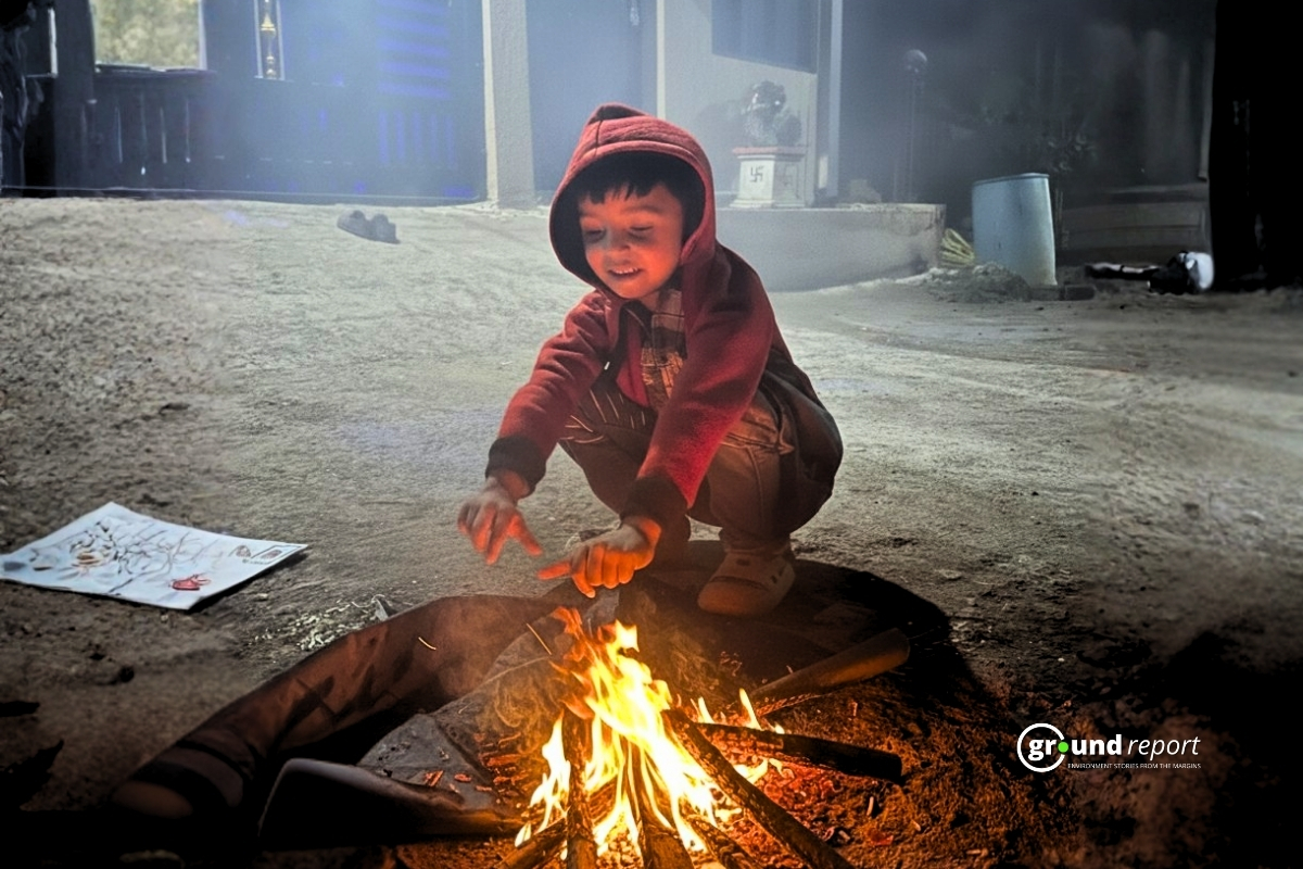
The cold will be felt most sharply late at night and in the early morning hours. Residents in lower-altitude towns and rural areas should prepare for particularly chilly pre-dawn conditions over the next three to four days.
Temperature Readings Across MP
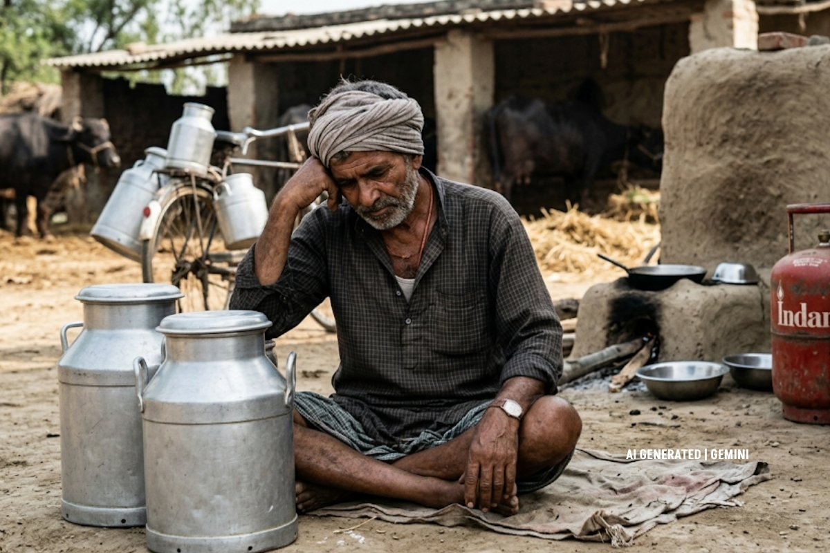
Kalyanpur in Shahdol district recorded the lowest temperature in the state on Tuesday-Wednesday night, with the mercury dropping to 4.3°C. Smaller towns recorded significantly colder nights than the state’s major urban centres.
| City / Location | Min Temp (°C) | Weather Forecast |
|---|---|---|
| Kalyanpur, Shahdol | 4.3 | Cold, partly cloudy |
| Pachmarhi | 7.4 | Overcast, chilly nights |
| Karoundi, Katni | 8.4 | Cloudy, light fog possible |
| Anuppur / Amarkantak | 9.1 | Cloudy, no rain expected |
| Mandsaur | 9.1 | Mostly cloudy, cold mornings |
| Khajuraho | 9.2 | Cloudy, cool |
| Datia | 9.9 | Partly cloudy, mild cold |
| Gwalior | 13.0 | Cloudy, fog on 14 Feb |
| Ujjain | 13.5 | Cloudy, no rain forecast |
| Jabalpur | 13.5 | Overcast, cool nights |
| Bhopal | 13.6 | Cloudy, fog likely 13–14 Feb |
| Indore | 13.6 | Cloudy, mild cold continues |
The pattern playing out in MP reflects a wider seasonal dynamic. Western disturbances, low-pressure systems that originate over the Mediterranean and travel eastward, periodically bring moisture and cloud cover to northern and central India during winter. They rarely produce significant rainfall this far south, but they reliably pull temperatures down.
The department expects the current cold phase to ease slightly before the next system arrives. With two disturbances still in the pipeline, however, cloud, fog, and cold nights look set to remain part of daily life through at least the middle of the month.
Support Us To Sustain Independent Environmental Journalism In India.
Keep Reading
Highway Halt Puts Kashmir’s Fruit Economy at Risk
Railway line expansion plan put Kashmir’s apple orchards at risk
Warmer winters in Kashmir raise concerns over apple and crop yields