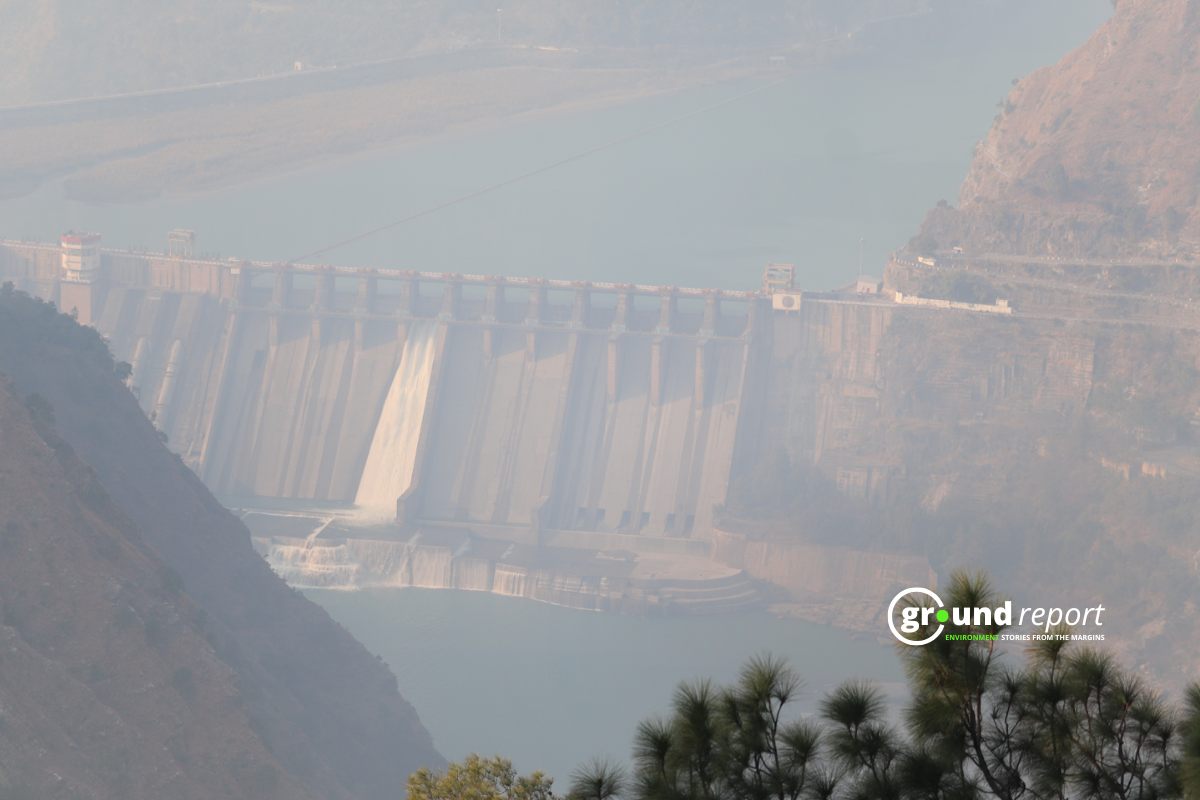
The glacier collapse high in the Himalayas triggered catastrophic floods in Nepal last week, damaging hydropower projects and trapping hundreds of workers inside tunnels. More than 900 workers from 12 hydropower projects in Nepal are believed to have been trapped when floodwater and debris swept through the valleys.
Safi Ahsan Rizvi, a former IPS officer and adviser with India’s National Disaster Management Authority, told Ground Report that Nepal’s disaster exposes a gap India has not fully addressed.
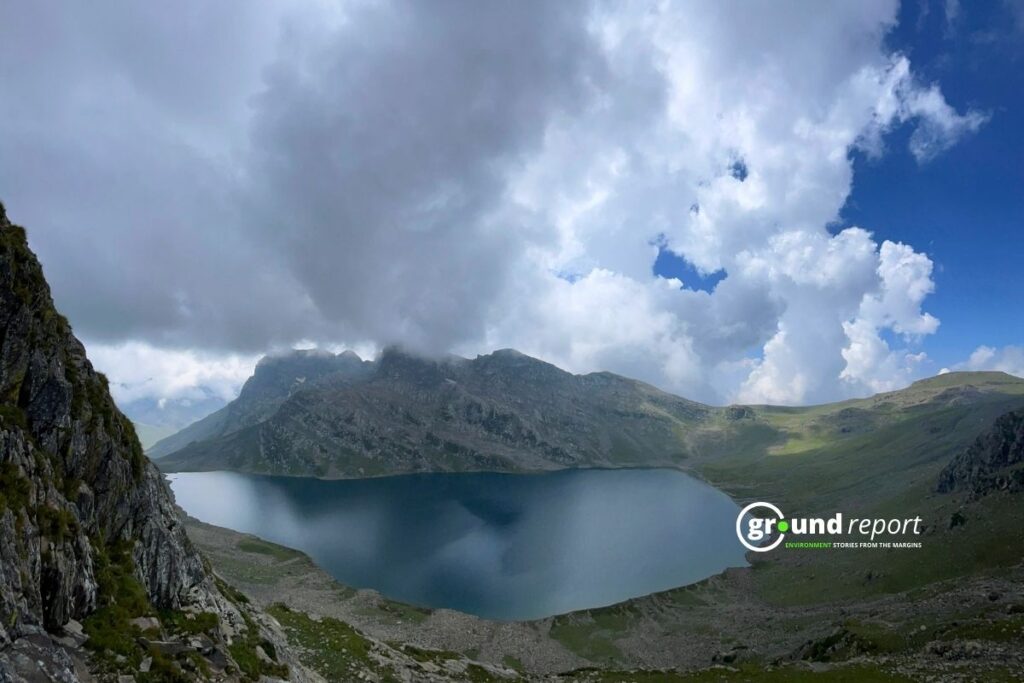
India already tracks 195 high-risk glacial lakes under its National Glacial Lake Outburst Floods (GLOF) Risk Mitigation Programme. Rizvi said identifying a dangerous lake is important, but a list cannot tell how a specific lake or mountain slope will behave during a sudden failure.
India has 98 hydropower projects in its pipeline with a combined capacity of 58,196 MW. Of these, 36 projects with a total capacity of 12,663 MW are under construction. Many are located in Arunachal Pradesh, Himachal Pradesh, Uttarakhand, Sikkim, and Jammu and Kashmir.
As India expands its hydropower across the Himalayas, can it detect sudden hazards high in the mountains and warn dams, workers, and communities before a flood reaches them?
Growing Hydropower Network
The state-run NHPC plans to increase its hydropower capacity by 59%, from 8.2 GW to nearly 13 GW by 2027. Its expansion includes the 2,000 MW Subansiri Lower project in Arunachal Pradesh and projects in Jammu and Kashmir’s Chenab valley, including Pakal Dul and Kiru.
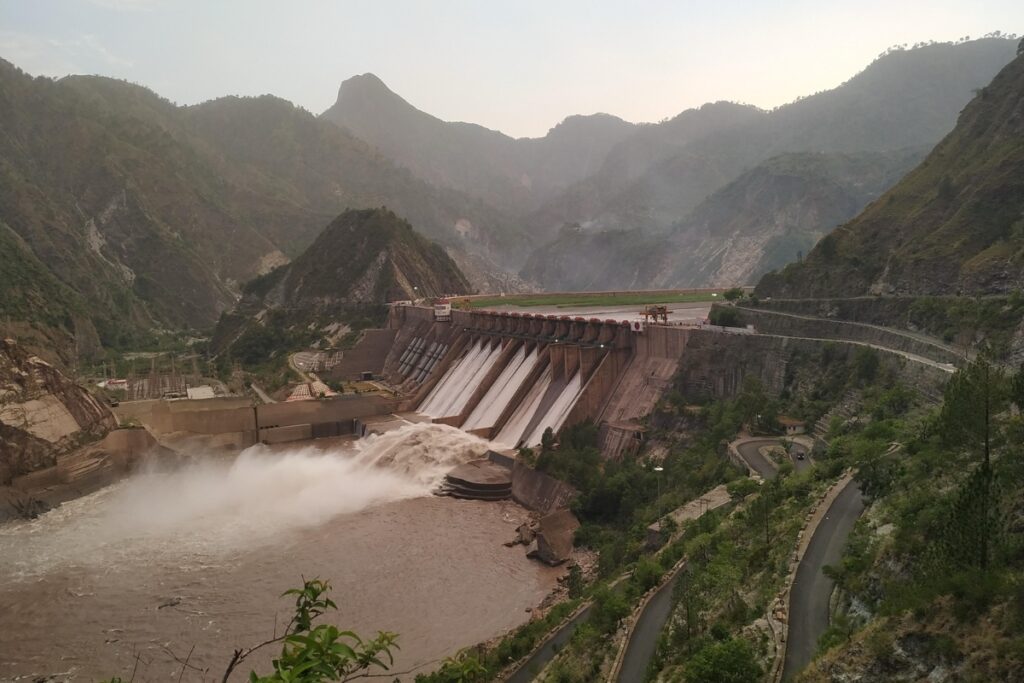
Across the wider Hindu Kush Himalaya, more than 550 hydropower projects are underway, planned, or under construction in China, India, Pakistan, Nepal, and Bhutan.
India is pushing hydropower because it needs more electricity and a power source that can support the grid when solar and wind generation falls. The Himalayas and the Northeast hold much of India’s remaining hydropower potential, making the mountain region central to the country’s plans to expand clean power.
On September 3, a coalition of youth and environmental groups in Jammu, including Climate Front Jammu, Youth for Himalaya and the Gujjar Bakarwal Student Alliance, raised concerns about the growing push for large infrastructure projects across the Himalayas.
In a press release, the groups raised concerns about what they described as growing competition over mega-projects in the Himalayas.
They criticised China’s planned mega-dam on the Yarlung Tsangpo upstream of Arunachal Pradesh and said the Himalayas “must not become a theatre of competing mega-projects.” They argued that countries sharing Himalayan rivers need greater cooperation on glacier and river data.
The groups also questioned whether authorities had assessed the combined risks of several hydropower projects located along the same stretch of the Chenab Valley, including Pakal Dul, Kiru, Kwar and Dangduru.
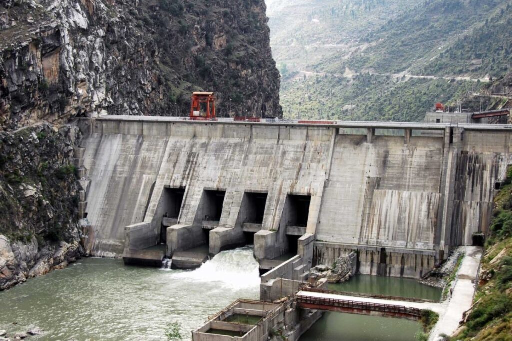
They called for independent risk assessments, real-time monitoring of glacial lakes and early-warning systems that include local communities, including Gujjar-Bakarwal pastoralists.
Warming Faster
Mohd Farooq Azam, senior cryosphere specialist at the International Centre for Integrated Mountain Development (ICIMOD), a Kathmandu-based research organisation studying the Hindu Kush Himalaya, said the Himalayan mountain range is warming faster.
This, he said, reduces snow cover, recedes glaciers, and “more rocky or barren areas are exposed—they absorb more heat, which makes the slopes more vulnerable.”
“…Increasing the risk of events such as glacier collapses, landslides, and floods,” he added. “These cascading hazards can pose a direct threat to hydropower dams, tunnels, and power stations located downstream.”
Azam said the danger to infrastructure can continue after the first flood, as the surrounding area becomes “vulnerable to secondary landslides”.
A study published in January 2026 in the Journal of Glaciology by researchers from the University of Kashmir mapped 155 glacial lakes across the Kashmir Himalaya using satellite images from 1992 to 2024. It found that ice-fed lakes grew by 26% during this period.
Five lakes—Bramsar, Nundkol, Bhagsar, Chirsar, and Gangabal—showed the highest risk of a glacial lake outburst flood. Nearly 2,700 buildings, 15 bridges, and one hydropower project lie within potential flood-impact zones.
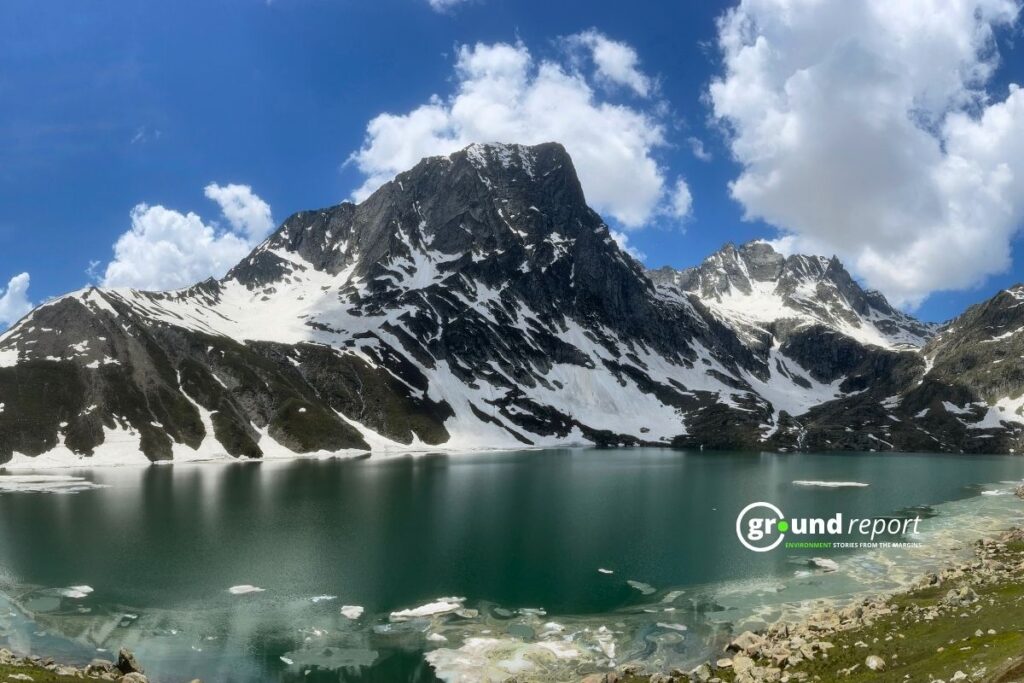
The Central Water Commission’s guidelines on GLOFs identify more than 100 dams across six Himalayan states and Union Territories as vulnerable to such floods.
The guidelines warn that a sudden breach can release large volumes of water, sediment, and debris, threatening dams and other infrastructure downstream.
In a previous article, we reported the growing scrutiny of Himalayan lakes in India, which face similar vulnerabilities under certain conditions.
Holistic Monitoring
Rizvi said identifying a risk and monitoring it in real time are two different things. For hydropower projects, he said monitoring must cover the entire path of a hazard, from glaciers and unstable slopes upstream to the project and communities downstream.
“Hydropower clearances in Himalayan catchments should require a certified upstream–project–downstream sensor, alarm, and evacuation network aligned with the Dam Safety Act and tested annually before the monsoon,” Rizvi said.
He pointed to Section 37 of the Dam Safety Act, 2021, which requires specified dam owners to establish hydro-meteorological networks, inflow forecasting, and emergency flood-warning systems for downstream areas.
The law also requires regular testing of these systems and the sharing of information on expected inflows, outflows, and possible adverse impacts with authorities and the public.
The pressure for a policy review is already reaching the government. On September 5, 2026, veteran power sector professional Shankar Sharma wrote to India’s Union Ministers for Jal Shakti, Power, and Environment, Forest and Climate Change, along with NITI Aayog’s Vice-Chairperson, urging a review of India’s hydropower expansion plans.
He argued that Himalayan hydropower “faces a new category of compound risk” and that floods, landslides and tunnel failures “should not be treated merely as isolated engineering accidents.”
His letter noted that India’s roadmap targets 100 GW of pumped-storage hydro capacity by 2035–36, on top of roughly 57,240 MW of existing hydroelectric capacity — expansion he said is moving faster than the risk-assessment framework needed to guide it.
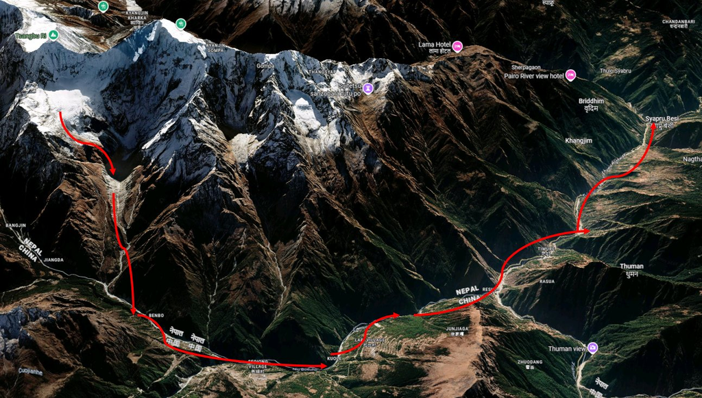
Rizvi also said the Nepal disaster exposed a gap in cross-border warning systems.
“The Nepal disaster highlighted a larger gap in the region—the absence of adequately developed cross-border early-warning mechanisms for sudden floods,” he said. “Political boundaries should not become barriers to disaster preparedness when rivers and hazards themselves cross them.”
Azam said some mountain failures build up slowly, giving scientists time to catch warning signs. Others happen in minutes. Either way, he said, India can’t stop at watching known lakes. It needs to understand which slopes are unstable, map where floodwater would go, and know exactly who lives in its path.
Support Us To Sustain Independent Environmental Journalism In India.
More Ground Reports
He Was Married as a Child, Now Manish Dangi Helps Stop It for Others
Despite The Ban, How Gutkha Became MP’s Most Common Household Habit