A new study has revealed that Delhi lost over 8 percent of its wetlands between 1991 and 2021, with South Delhi witnessing a catastrophic 97 percent decline in the same period. The research paints a stark picture of how rapid urbanization has systematically destroyed the city’s water bodies.
The 2025 study by Delhi University researchers tracked changes in the capital’s wetlands using satellite imagery and Geographic Information System technology. Their findings show that Delhi’s total wetland area shrank from 32.9 square kilometers to 30.2 square kilometers over three decades.
While the citywide numbers appear modest, the district-level data reveals a crisis. South Delhi’s wetland coverage plummeted from 0.8 percent in 1991 to just 0.025 percent in 2021. East Delhi dropped from 0.396 percent to 0.016 percent. North Delhi fell from 0.279 percent to 0.001 percent.
The research team comprised Grinedge Yadav, Rupesh Kumar Gupta, and Arpit Gupta from Delhi University’s Department of Continuing Education and Extension, along with Ajay Srivastava from HCL Tech and Nani Gopal Mandal from Terna Global Business School in Navi Mumbai.
The Built-Up Surge
Built-up land increased by over 70 percent during the study period, expanding from 485.6 square kilometers to 825.6 square kilometers. This growth came directly at the expense of natural landscapes. Vegetation and forest cover declined by nearly 37 percent.
Delhi’s population exploded from 1.47 million in 1951 to 32.94 million in 2023. The city’s urban population rose from 52.7 percent in 1901 to 97.4 percent in 2011. This demographic surge drove intense demand for land and infrastructure.
The researchers found a near-perfect correlation between population growth and built-up area expansion, registering a positive correlation of 0.99. Conversely, they documented a strong negative correlation of minus 0.88 between urbanization and wetlands.
“The study relies entirely on publicly available satellite data. In 2011, six districts showed a slight decline, while others saw minor increases, this needs further research,” said Rupesh Kumar Gupta, associate professor at Delhi University.
What Satellite Images Reveal
The study employed the Automated Water Extraction Index with Shadow on Landsat satellite imagery from 1991, 2001, 2011, and 2021. This method allowed researchers to accurately map surface water bodies while minimizing errors in complex urban environments.
The Yamuna River showed progressive degradation across the study period. In 1991, the river appeared wide and hydrologically robust. By 2021, it had become heavily polluted and largely channelized, losing natural floodplain connectivity.
The Najafgarh Wetland, once extensive, fragmented over time. By 2021, it had degraded into a narrow, fragmented channel. South West Delhi, which houses this major wetland system, saw its water body coverage surge to 2.164 percent in 2001 due to seasonal inflows, then decline sharply to 0.167 percent by 2021.
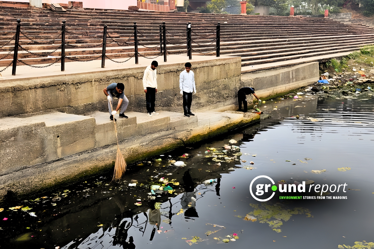
Bhalswa Lake suffered severe degradation from solid waste dumping and sewage inflow. Iconic sites like Hauz Khas and Sanjay Lake transformed into ornamental features rather than functioning hydrological assets.
Three Districts That Kept Their Water
Not all districts experienced uniform decline. Central Delhi maintained the highest relative percentage of water bodies, declining only slightly from 3.720 percent in 1991 to 3.261 percent in 2021.
North East Delhi showed an encouraging increase, rising from 2.718 percent in 1991 to 3.796 percent in 2021. This reflected the retention of active floodplains along the Yamuna River.
South East Delhi, introduced in the 2021 dataset as a new district, reported a relatively high share of 1.636 percent. This figure stems from ecologically significant zones like the Okhla Bird Sanctuary and portions of the Yamuna floodplain.
Shahdara, the newest district, reported a very low water share of 0.010 percent, reflecting its compact, densely built urban character.
Real Cost of Lost Wetlands
The disappearance of wetlands carries severe consequences for Delhi’s environmental health. Wetlands contribute to groundwater recharge, support biodiversity, and regulate local climate. Their loss exacerbates the city’s mounting water insecurity.
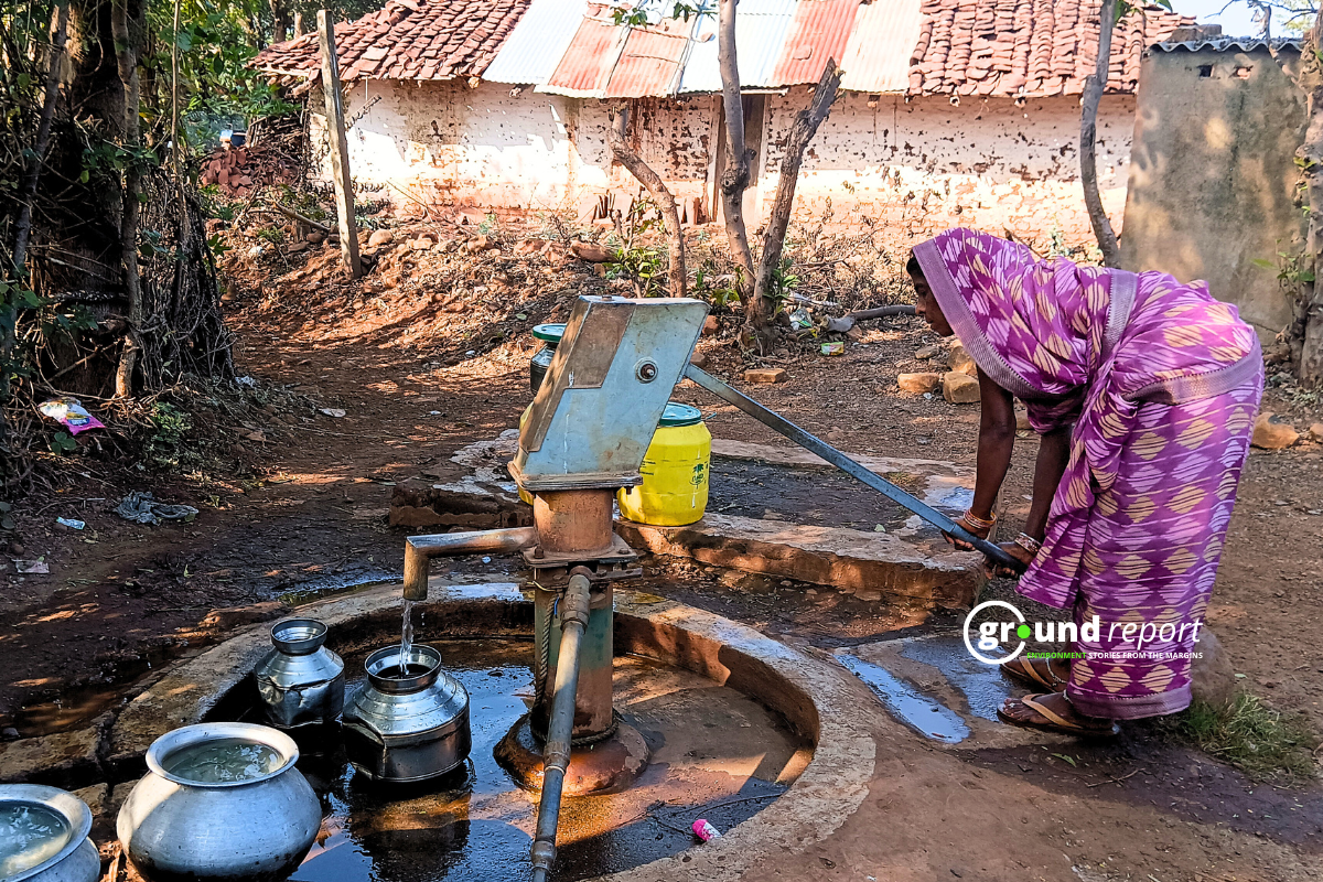
Delhi currently sources water from multiple channels: 375 million gallons per day from the Yamuna River, 240 million gallons per day from the Ganga River, 218 million gallons per day from Bhakra Storage, and only 80 million gallons per day from groundwater.
The conversion of wetlands into impervious surfaces amplifies the risk of urban flooding. As concrete replaced natural basins and farmland, Delhi’s hydrological balance was disrupted. The city now faces reduced groundwater recharge and frequent flooding events.
Wetland loss also contributes to the urban heat island effect. Without these natural cooling systems, the city experiences disrupted microclimates and degraded air and water quality.
What Experts Say Delhi Must Do Now
The researchers emphasize the need for decisive policy action and ecologically informed urban planning. They call for stringent regulations to prevent further encroachment on existing wetlands.
The study recommends formal designation of all vulnerable wetlands as protected ecological zones. Restoration initiatives should prioritize severely affected districts like South, East, and South West Delhi.
Urban planning frameworks need to incorporate blue-green infrastructure, including constructed wetlands and rain gardens. These features enhance water retention capacity and ecological resilience.
Advanced monitoring technologies, including satellite and drone surveillance, can improve regulatory mechanisms and effectively penalize illegal land use changes. Public awareness campaigns and community engagement programs can ensure local stewardship and participatory conservation efforts.
Vegetation cover dropped from 565.4 square kilometers to 398.2 square kilometers during the study period, a loss of 167.2 square kilometers. Forested areas declined from 208.9 square kilometers to 131.6 square kilometers. Bare land fell sharply from 190.9 square kilometers to 98.1 square kilometers.
The researchers used multi-temporal analysis to track how wetlands changed across four time periods. Their methodology minimized misclassification errors often associated with mapping water bodies in complex urban environments.
Immediate Threats Remain
The study attributes the decline to Delhi’s explosive and often unregulated urban growth. As the city expanded, natural basins and agricultural land disappeared under concrete. Traditional water bodies and agricultural fields converted into sprawling built-up spaces.
Sediment accumulation and pollution affected ponds and canals across multiple districts. Smaller wetlands faced encroachment as infrastructure projects expanded. Canal systems degraded, and agricultural ponds disappeared to make way for roads and buildings.
The cumulative effects of neglect, encroachment, and unregulated urbanization became starkly evident by 2021. Lakes that once functioned as essential hydrological assets increasingly served only as localized heritage or recreational zones.
Without deliberate regulatory intervention, Delhi’s remaining wetlands face further irreversible decline. The ecological services these systems provide, water filtration, flood control, climate regulation, and biodiversity support, are crucial for maintaining environmental integrity amid rapid urban expansion.
The study underscores that safeguarding these ecosystems is essential for sustainable development and climate resilience as Delhi continues to grow.Retry
Support us to keep independent environmental journalism alive in India.