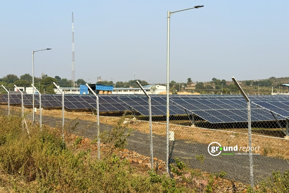
The Union government will use a Geographical Information System (GIS) for faster environmental clearance for infrastructure projects through the recently launched Parivesh portal, the Environment Ministry has informed the Rajya Sabha.
The Ministry has developed web-based Geographic Information System (GIS) applications such as PARIVESH, e-Green Watch and Van Agni Geo-portal. The PARIVESH portal (Pro-Active and Responsive facilitation by Interactive Virtuous and Environmental Single-window Hub) is an integrated single-window environmental management system for online submission and tracking of proposals submitted by proponents to seek environmental regulation, forestry, wildlife and Coastal Regulation Zone clearances from Central Government.
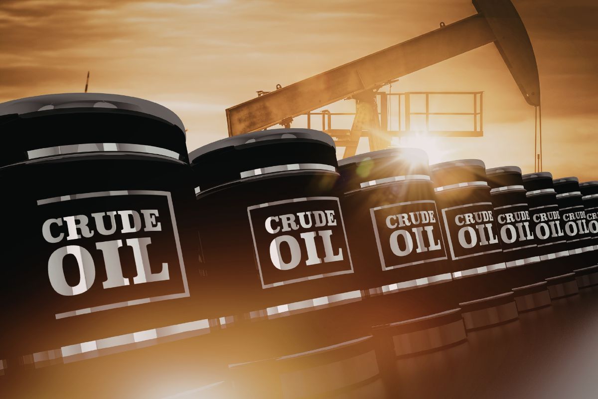
According to the information available on the Parivesh Portal as of December 5, 2022, about 117 proposals, including 6 proposals from Telangana, are in various stages of consideration for Environmental Clearance (EC) under the provisions of the Notice of Appraisal of environmental impact (EIA) of 2006.
The provisions of the EIA Notification of 2006, the prescribed period for EC approval is 105 days from the date of submission of the full proposal. Due to various measures or initiatives taken by the Ministry, the average time in the approval of the CE has been reduced to 64 days in the current year from 75 days in the year 2021.
What is GIS or Geographic Information System?
A Geographic Information System or GIS is a computerized tool to work with geolocated and displays geographically referenced information. GIS (Geographic Information System) is a computer tool that allows for collecting, managing and analyzing data that have a spatial reference, all with the purpose of facilitating more efficient decision-making.
This means that in a single map the system shows the distribution of resources, buildings, and populations, among other data of municipalities, departments, regions or an entire country. This is a suite that mixes hardware, software, and geographic data, and displays them in a graphical representation. GIS is designed to capture, store, manipulate, analyze, and display information in as many ways as possible in a logical and coordinated manner.
GIS is an analysis tool used in a wide range of areas, including healthcare, city government, transportation, urban planning, business marketing, geology, and archaeology. It is used to route emergency vehicles and fleets, determine the best locations for new warehouses and other businesses, and conduct demographic, market, and political research.
This type of system is especially useful for solving problems or questions about planning, management and territorial or resource distribution. They are used in scientific research, archaeology, environmental studies, cartography, sociology, history, marketing and logistics, among other fields.
All geographic information systems and the results of searches in them depend on the quality and quantity of information provided in their database.
ASLO READ
- Can Extreme Heat Be Managed By Designing Better Homes?
- The Energy Conservation (Amendment) Bill 2022, Explained!
- 2022 UN Champions Of The Earth Winners, Who Are They?
Follow Ground Report for Climate Change and Under-Reported issues in India. Connect with us on Facebook, Twitter, Koo App, Instagram, Whatsapp and YouTube. Write us on GReport2018@gmail.com.