The Ken-Betwa Link Project is the first project in the National Perspective Plan to interlink rivers. This project will carry water from the Ken River to the Betwa River. Both rivers are tributaries of the Yamuna. The Ken-Betwa Link Project is located in Bundelkhand, a drought-prone region spanning 13 districts of Uttar Pradesh and Madhya Pradesh.
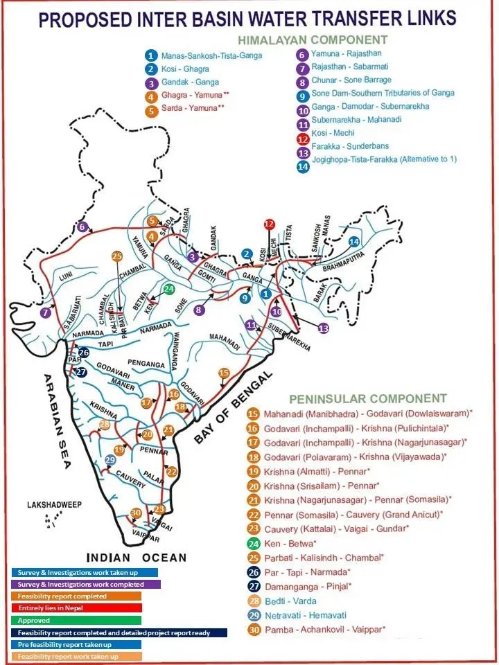
The Ministry of Water Resources formulated a National Perspective Plan for water resources development by transferring water from water-surplus basins to water-deficit basins/regions in 1980. National Water Development Agency (NWDA) after carrying out detailed studies identified 30 links for preparation of feasibility reports. These links can be divided into two components—the Himalayan (14) and the Peninsular (16).
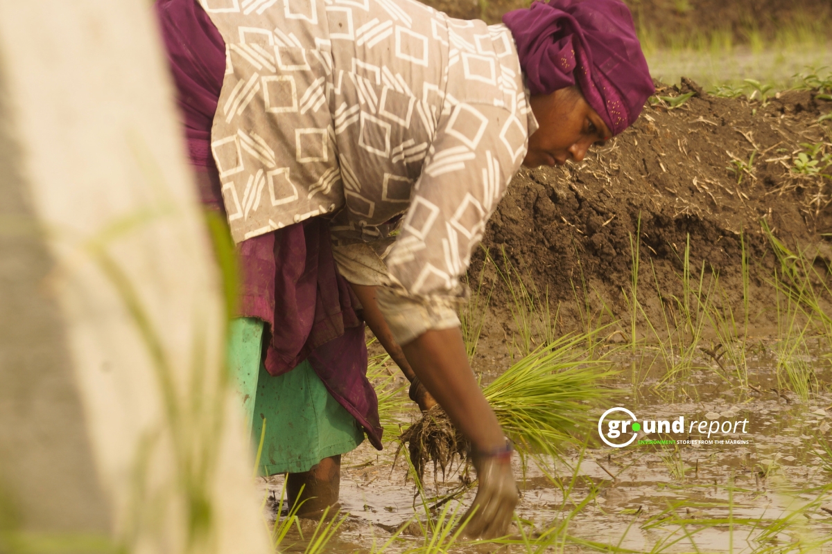
According to the Jal Shakti Ministry, the project will greatly benefit the water-stressed region of Bundelkhand, particularly the districts of Panna, Tikamgarh, Chhatarpur, Sagar, Damoh, Datia, Vidisha, Shivpuri, and Raisen in Madhya Pradesh, and Banda, Mahoba, Jhansi, and Lalitpur in Uttar Pradesh.
In our earlier report, we talked about the challenges with the implementation of the Ken-Betwa river-interlinking project. New research from the Indian Institute of Technology, Bombay, points to the risks of river interlinking. The dam, located in the Panna Tiger Reserve, will submerge 9,000 hectares of land. Of this, 5,578.92 hectares of the Panna Tiger Reserve will be submerged, with 4,206.5 hectares located within the reserve’s core, which is tightly maintained for wildlife preservation, and the remaining 1,372.42 hectares in the buffer zone, where restricted activities are permitted.
Rainfall loss up to 12 % due to river-interlinking: Study
The paper discovers that river interlinking might cause a rainfall loss of up to 12% in already water-constrained locations when the monsoon withdraws in September. The paper notes that river interlinking could “dry up the rivers in the subsequent months (after September) amplifying water stress manifolds in various parts of the country.”
The paper examines terrestrial and atmospheric variables such as soil moisture, heat, humidity, precipitation, and wind speed, among others, to predict what changes may occur if rivers are interlinked. The study’s findings are based on the assumption that all projects have been finished, and they show that, while rainfall stays generally unaffected in June, July, and August, there is a statistically significant decline in September across various rain-fed regions.
According to the study, rather than dispersing soil moisture evenly across all basins, river interlinking may produce greater imbalances because rivers do not have the same balance of links to land, ocean, and atmosphere. River interlinking may boost soil moisture in the Krishna basin, the western portion of the Godavari and Narmada-Tapi basins, and the eastern Ganga basin. However, there has been a “pronounced decline in soil moisture of the Mahanadi, Godavari, and western part of Ganga basin in Indian states of Odisha, Chhattisgarh, northern Maharashtra, Madhya Pradesh, and Rajasthan,” according to the report.
A news report by The Indian Express highlights that the project’s wildlife clearance is still under dispute in the Supreme Court. Hence, it might need fresh environmental clearance before it is implemented on the ground. The Ken-Betwa river linking plan is the first to reach the implementation stage, among other river interlinking projects, after Madhya Pradesh and Uttar Pradesh signed an agreement in 2021 and the project received Cabinet approval.
Nitin Bassi, Senior Programme Lead for the Sustainable Water Team from the Council on Energy, Environment and Water (CEEW) said,
“The Ken-Betwa project will allow better equity in the drought-prone Bundelkhand region with the availability of water for irrigation. However, the environmental damages should be compensated.”
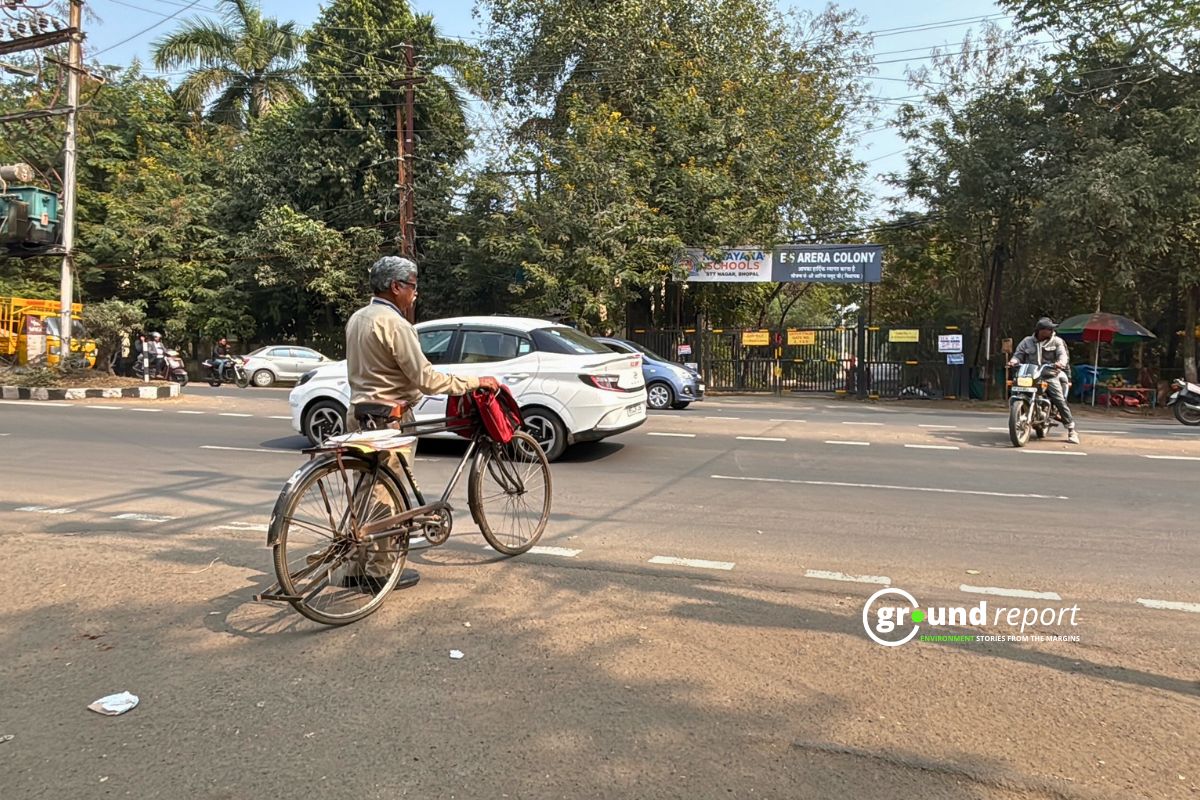
Affect on People
In Madhya Pradesh, the proposed 77m Daudhan dam, a key component of the project, will displace 5,228 families in the Chhatarpur district and 1,400 families in the Panna district due to land submergence and dam-related land acquisition, an official from the Ken Betwa Link Project Authority said while speaking to the Frontline Magazine.
Nine villages in the Chhatarpur district spread over 1595.97 hectares, will be acquired as they fall in the submergence zone, as per the notification issued by the Chhatarpur Collector. According to reports from the Union Environment Ministry and the Madhya Pradesh Forest Department, 16 villages (eleven in Panna district and five in Chhatarpur district) will be affected by acquisition for compensatory afforestation, covering 2,357 hectares.
Follow Ground Report for Environmental News From India. Connect with us on Facebook, Twitter, Koo App, Instagram, WhatsApp and YouTube. Write to us at GReport2018@gmail.com and subscribe to our free newsletter.
Don’t forget to check out our climate glossary, and learn difficult environmental terms in simple language.